Turn focus time into a flight.
Itavel is a web app for focused study and work. Each focus session becomes a virtual flight from your airport, and every arrival is saved to your passport.
Itavel Free · no payment required
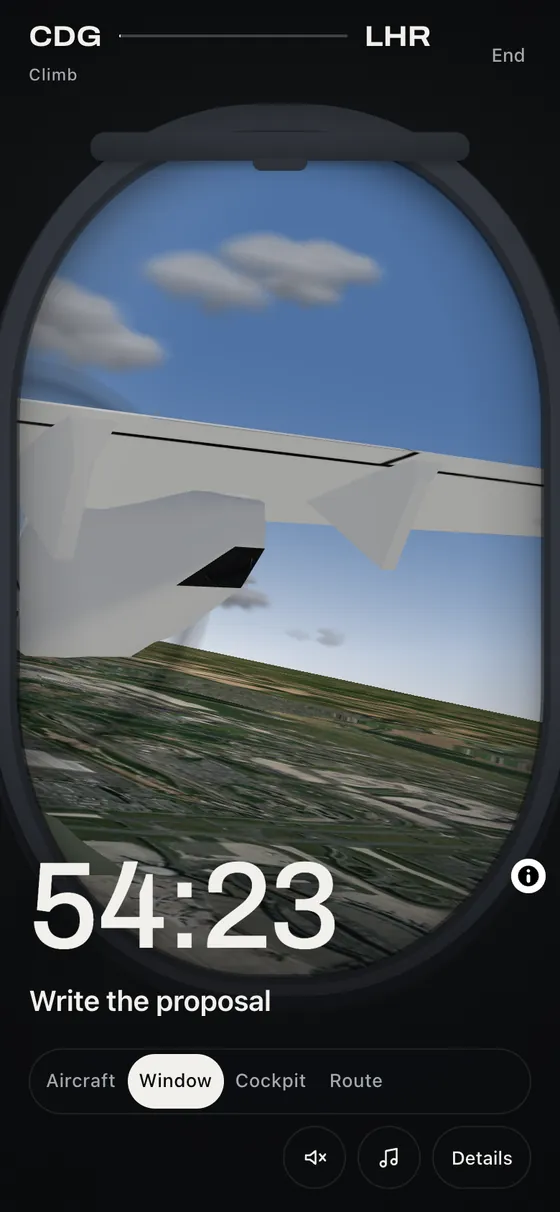
How it works
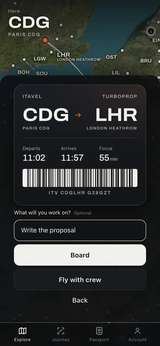 01
Choose a destination
Choose how long you want to focus, then pick a destination from your current airport. The flight time is your focus time.
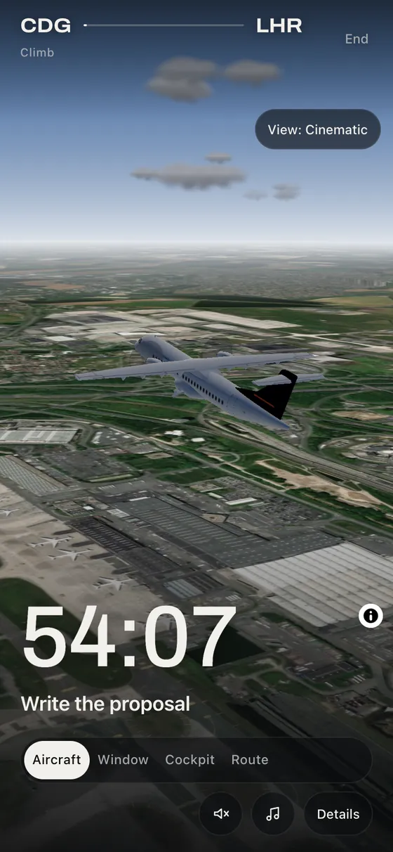 02
Focus while you fly
Write what you are working on and board. The timer counts down as the aircraft flies; switch views whenever you like.
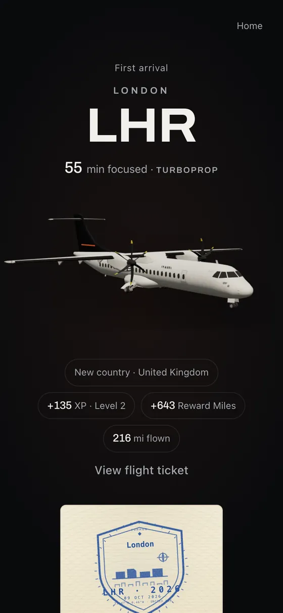 03
Land and keep a record
When the timer ends, you land. Stamps, a flight ticket and miles are added, and your next flight leaves from here.
Map imagery: Powered by Esri · Sources: Esri, Vantor, Earthstar Geographics, and the GIS User Community
A focus timer with a world to explore

Map imagery: Powered by Esri · Sources: Esri, Vantor, Earthstar Geographics, and the GIS User Community
- Real airports
- Fly between real airports around the world on a satellite map.
- Four views
- Aircraft, window, cockpit or route — change the view at any time.
- Passport and miles
- Stamps, flight tickets, Reward Miles and status grow with every session.
- Fly Together
- Board the same flight as a friend and focus at the same time.
Free to start. Premium Pass when you want more.
Itavel Free is available now. Create an account to start focusing; no payment is required.
| Feature | Itavel FreeFree | Itavel Premium Pass€9.90 / month · €99.90 / year |
|---|---|---|
| Focus sessions as flights, with pause and recovery | ✓ | ✓ |
| World map and destinations | ✓ | ✓ |
| Passport, stamps, flight tickets and travel log | ✓ | ✓ |
| Reward Miles, Lifetime Miles and status | ✓ | ✓ |
| Aircraft | TURBOPROP, JET | Also LONG-HAUL JET and SUPERSONIC |
| Fly Together | With one friend | Up to 6 travellers, 3 open crew flights |
| Visual Time (scenery) | Automatic | Choose day, sunset or night |
| Business cabin on every flight | — | ✓ |
| More cabin soundscapes | — | ✓ |
| Premium Pass Bonus on completed flights | — | +50% Reward Miles |
Your first flight is a few minutes away.
Create a free account, choose your departure airport and take off.
Image credits
All screens are captured from the Itavel app.
Map image is the intellectual property of Esri and is used herein under license. Copyright © 2026 Esri and its licensors. All rights reserved.
Elevation: AWS Terrain Tiles (Mapzen). SRTM and GMTED2010 data courtesy of the U.S. Geological Survey; ETOPO1, U.S. National Oceanic and Atmospheric Administration; produced using Copernicus data and information funded by the European Union – EU-DEM layers; © Environment Agency copyright and/or database right 2015. All rights reserved. All elevation sources
Aircraft: "ATR 72 - 600" by Sofyan Kurniawan, licensed under CC BY 4.0, modified by Itavel. Model · Licence